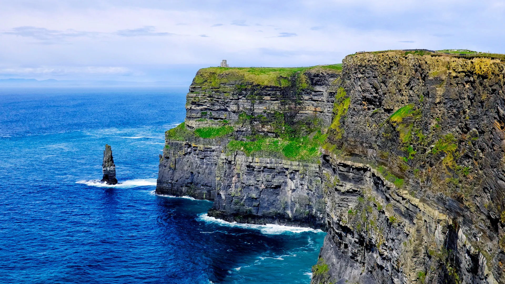
County Clare, Wild Atlantic Way
Visiting the Burren
The Burren is a bare limestone region in north County Clare, immediately inland and north of the Cliffs of Moher. Most visitors see it on the same day as the cliffs.
When you book through our affiliate links, we may earn a commission at no extra cost to you. Bookings are completed with the booking provider. Collections are curated lists on Viator; we don't operate tours. Check each tour's own page for inclusions, pickup, schedule and price before booking.
What the Burren is
The name comes from the Irish Boireann, meaning a rocky place. It is a karst landscape: wide pavements of grey limestone split by deep cracks, with hills, green valleys and a coastline along Galway Bay. Because the rock stores heat and shelters roots, the crevices hold an unusual mix of plants, and the region has a long record of prehistoric tombs, ring forts and early churches.
It sits between Ballyvaughan and Kinvara on the coast and Corofin and Kilfenora inland, with Doolin and the Cliffs of Moher on its south-western edge.
Viator collection
Visit The Burren
Places people usually want to see
- Poulnabrone portal tomb — an exposed prehistoric tomb on open limestone pavement, one of the most photographed sites in Ireland.
- The coast road (R477) by Black Head — limestone terraces on one side, Galway Bay and the Aran Islands on the other.
- Aillwee Cave and the birds of prey centre — an underground cave system near Ballyvaughan.
- Caherconnell stone fort — a ring fort with sheepdog demonstrations nearby to Poulnabrone.
- Corcomroe Abbey and Kilfenora — a ruined Cistercian abbey and a village known for its high crosses.
- Burren National Park — waymarked walking trails in the south-east of the region, near Corofin.
Driving yourself or taking a tour
| Self-drive | Guided day tour | |
|---|---|---|
| Roads | Narrow rural roads with grass margins and few passing places | Someone else handles the driving and parking |
| Stops | Stop where you like, including small unmarked pull-ins | A fixed list of stops, often with the Cliffs of Moher included |
| Time | Easy to spend a full day; also workable as a half day | Usually a long day if it departs from Dublin |
| Best for | Walkers, photographers, anyone comfortable on rural roads | Visitors without a car or new to driving on the left |
How it pairs with the Cliffs of Moher
The Burren and the Cliffs of Moher are close neighbours, and many day tours cover both. If you are choosing a departure point, our Cliffs of Moher guide lists collections by where the day starts, including Galway and Dublin. Ferries to the Aran Islands also leave from Doolin, on the edge of the region.
What to check before booking
- Which Burren sites are actually visited, and which are drive-past views.
- Whether admission to caves, forts or the cliffs visitor centre is included.
- How much walking is involved and whether the ground is uneven.
- Total day length, especially from Dublin.
- Footwear and layers — limestone is slippery when wet and the coast is exposed.